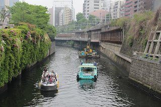
I'll continue to write about the Kanda river.
I have a 3D map software in my computer.
It can describe an undulation on a land from
calculation from a altitude date.
I'll try to compare between the real photos and
the generated 3D photos.
 |
| Photo 1. The real scene: There are a hill there, and the Kanda river penetrates the hill. |
 |
| Photo 2. Close to the river. You can see big walls laid at both shores. |

0 件のコメント:
コメントを投稿